
Yesterday on June 13th, 2014, I explored a new area in the Mazatzal Mountains of Maricopa County. This area is called Forest Road 25. Forest Road 25 is in the Slate Creek Divide vicinity, but is south and is shortly north of the Old Beeline Highway. Road 25 is accessed after driving on Forest Road 201 (the road up to Slate Creek and the Mt. Peeley Trailhead) for 1.2 miles after turning on 201 from the Old Beeline Highway. Road 25 branches off to the west from Road 201, and it heads west for a total of 4.8 miles through an interesting selection of habitats. I found it very interesting and I think it will be an area many will like to explore because it has great potential.
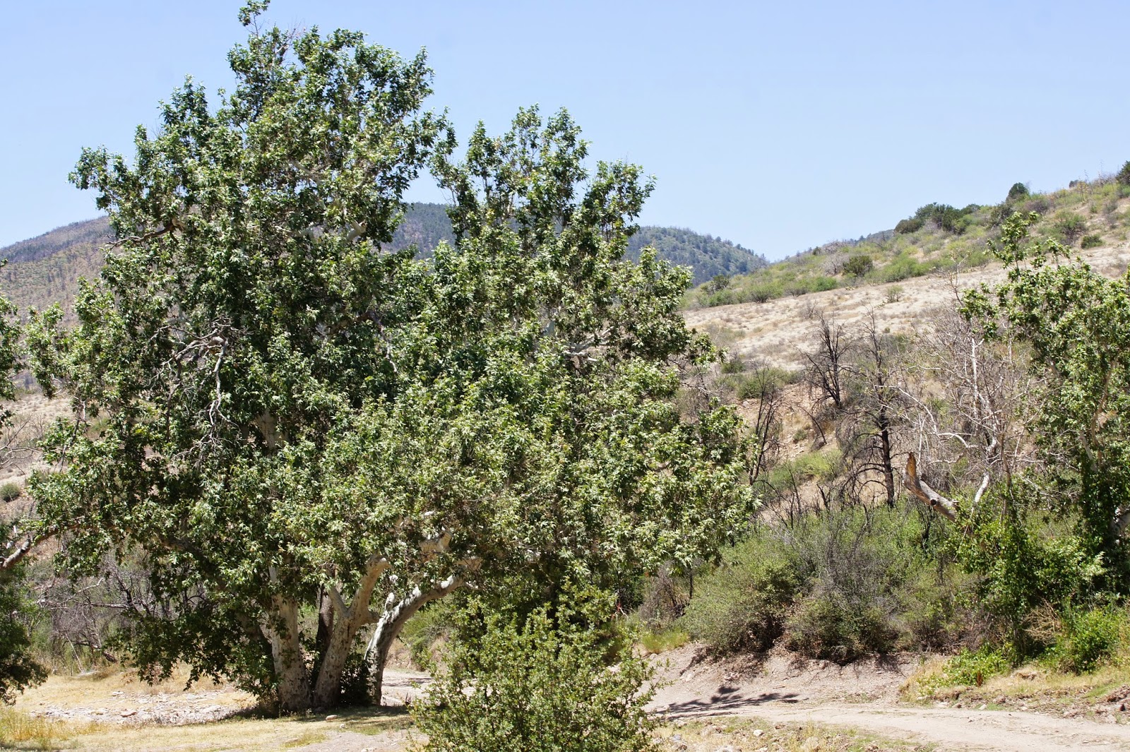
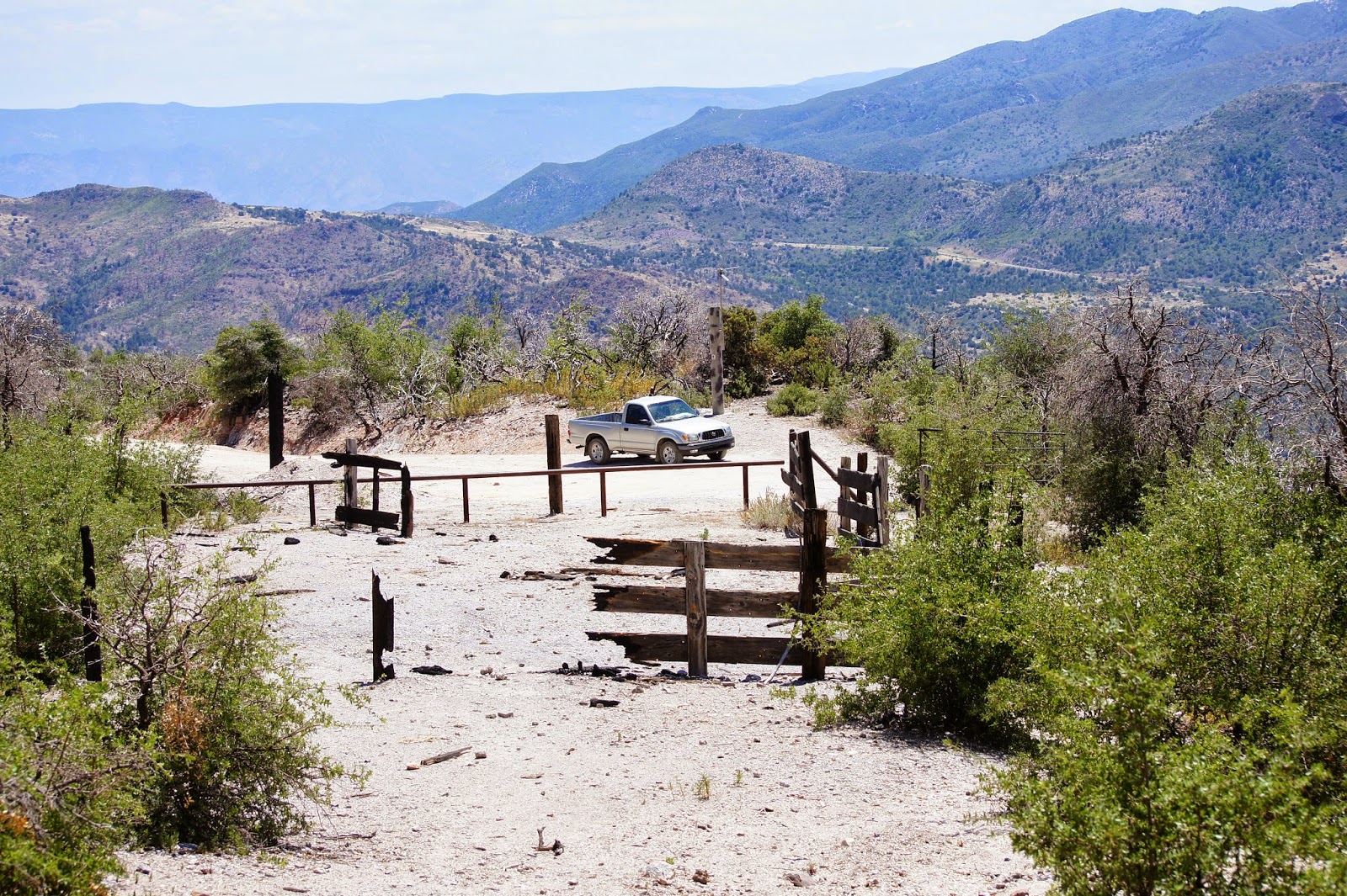
Once turning on Forest Road 25, one will drive along the East Fork of Sycamore Creek and will soon come to the main branch of Sycamore Creek at two miles of driving. At this point, the West Fork heads north of the main branch of the creek also. It is neat to drive and see this stretch of Sycamore Creek. The road then runs north and follows the West Fork for 0.7 miles. Once at 2.7 miles of driving, the road crosses Sycamore Creek. Due to the recent Sunflower Fire in 2012, there is likely to be bad flooding in this area during parts of the year. This may make this road impassable. When dry, the duration of Road 25 is in good condition, and is quite similar to that of the roads up to Mount Ord and Slate Creek. Once past the creek crossing the road climbs uphill for over a mile and is somewhat steep in places. There are a few rough patches along this stretch, but it isn't any worse than the road to Ord or Slate Creek. The road gets easy again and ends at 4.8 miles at a corral and trailhead, called the Mormon Grove Trailhead, which accesses the Arizona Trail. Before this point at 4.3 miles, there is a trail/"road" that heads south for a quarter mile down to a cattle pond. This pond may be good for viewing birds and other wildlife early in the morning. Throughout the duration of this road, the habitat selection consists of sycamore and ash riparian, chaparral, and juniper and pinyon pine covered hillsides. The juniper and pinyon pine trees are often right along Sycamore Creek, which creates an interesting environment. Pinyon pine is numerous in this area, probably more so than anywhere else in the county. Along Forest Road 25, the elevation ranges from 3800 to 4900'. The Sunflower Fire did hit this road in a places, but most of the habitat along the road is in great shape!


Along Forest Road 25, birds that I encountered included ANNA'S and COSTA'S HUMMINGBIRDS, LADDER-BACKED WOODPECKER, ASH-THROATED and BROWN-CRESTED FLYCATCHERS, CASSIN'S KINGBIRD, numerous GRAY VIREOS, BELL'S VIREO, WESTERN SCRUB-JAY, JUNIPER TITMOUSE, a flock of BUSHTITS, 5 CRISSAL THRASHERS, numerous PHAINOPEPLAS, YELLOW WARBLER, RUFOUS-CROWNED SPARROW, BLACK-CHINNED and BLACK-THROATED SPARROWS, and HOODED and SCOTT'S ORIOLES.
 |
| Crissal Thrashers |
 |
| Juniper Titmouse |
 |
| Costa's Hummingbird female sticking her tongue out! |
 |
| Scott's Oriole |
 |
| Western Scrub-Jay |
What really made me decide to explore this area was to access a forested mountain on a north facing slope. I saw that this area could be accessed from the Mormon Grove Trailhead and by hiking north up the Arizona Trail for two miles. I arrived here early at 5:45 A.M. and I made my hike up north to the forested mountain I wanted to see. Along the way, the habitat is very similar to the duration of Road 25. As the trail climbs up, there are beautiful cliffs and rocky areas to add to the habitat mix. Several CANYON WRENS sang their hair raising song throughout the morning.


I eventually came upon the mountainside, and I saw that it was a very nice stand of Douglas fir tucked in on a mountainside that faces in the northeast direction. As I came upon the mountain to the south, I couldn't see much of it until I came around the west side of it to get a view from the north. By looking on overview maps, I saw that there was a drainage heading down and along the forested mountain and I anticipated to hike down it. I quickly found the drainage and started to bushwhack my way down it towards the Douglas fir stand. By the end of the walk, it is a very pleasant area. I didn't see any pines on the mountain, it was only Douglas fir, oak, and alder. The Sunflower Fire burned some of the stand in places, but otherwise, the Douglas fir stand here is very attractive and has good potential. It was a 0.7 mile hike down to the end of the stand. The first half of the hike down the drainage was rough, but the second half was surprisingly easy to follow.


My best bird highlight was detecting 5-6 DUSKY-CAPPED FLYCATCHERS. While they are nearby at the Slate Creek drainages I bird a lot, this drainage is a good 3.5 miles south of where the other ones are at. There were two pairs of flycatchers, and a single bird I wasn't able to access, who probably had a mate nearby as well. One of the pairs I was able to watch very well at a nest hole. The adult birds were both making rounds and feeding their recently hatched fledglings. It was very fun to observe, and I have photos of the parents carrying food and sticking their heads in the nest hole. The young birds were even calling like the mournful song of their parents, but it was a much weaker sounding call of course. This species continues to increase in Maricopa County, as this is the third location they have been found outside of the Slate Creek Drainages.


Other birds in the drainage included COOPER'S HAWK, ACORN WOODPECKER, numerous WESTERN WOOD-PEWEES, a late PACIFIC-SLOPE FLYCATCHER who was giving the right callnotes, PLUMBEOUS and HUTTON'S VIREO, a single and oddly silent MEXICAN JAY, BRIDLED TITMOUSE, a family of CANYON WRENS, HOUSE WREN, VIRGINIA'S AND BLACK-THROATED GRAY WARBLERS, HEPATIC and WESTERN TANAGERS, and BLACK-HEADED GROSBEAK. In a lot of ways, bird activity seemed to be down despite the fact it was still very active at the same time. A lot of the species weren't singing, and surprisingly, I didn't find a single Painted Redstart. The drainage has potential for a lot more too. Hiking in the drainage and along the Arizona Trail also resulted in me narrowly missing several Black Bears, which left fresh scat in different places along the trail and the drainage. I frequently clapped to avoid surprising a bear while hiking around numerous turns. Although they aren't seen very often, these large mammals are present in the Mazatzal Mountains in high numbers. The non-avian highlight came when I found an ARIZONA BLACK RATTLESNAKE in the drainage. This is certainly a nice looking snake, and it didn't rattle until I was feet away from it. It didn't rattle long either, it was very docile acting.


Concluding, I'm glad to say that I have another area to explore in Maricopa County! This is one that certainly has a lot of potential, whether birding from Road 25 or hiking up the Arizona Trail nearby to the Douglas fir stand.
No comments:
Post a Comment